Even though it’s been over three years since a series of earthquakes rattled Kumamoto, the devastation is still readily apparent. As a reminder that we’re in a seismically active area Ferda and I started our Kumamoto tour by slowly bicycling up the rim of the huge Aso Caldera, “one of the largest calderas in the world” according to the Aso UNESCO Global Geopark literature that we picked up in the town of Aso. From the high point on the road we dropped quickly and steeply into the caldera itself.
Here’s a view from that descent looking down on the farmland in the caldera. The opposite rim of the caldera is in the far right of the photo while the peaks in the center of the caldera start to be visible in the left of the photo.

To try and get an idea of the enormity of the caldera also consider this photo, taken from the slope of the mountains in the caldera’s center looking toward the rim of the caldera. The mountains in the background are outside the caldera, but it’s easy to see the caldera’s rim shown as an unbroken horizontal band of green all the way across the photo.

Our first stop was Aso Shrine, in the town of Aso down in the caldera flats. Two of the shrine’s main buildings were completely destroyed in the earthquakes, and the site is still closed for reconstruction. We couldn’t get any photos.
There are various mountains and volcanic cones within the caldera, and a road goes much of the way up the still-fuming Mt. Nakadake. I wanted to check it out, but Ferda didn’t feel like climbing an extra 600m so we split up for the afternoon. Despite the difference in elevation we ended up with surprisingly similar photos:


I was able to get up to about 1150m and take this photo:

There’s a road that climbs higher, but it was closed because of the smoke.
This might be Kijimidake:

This is Komezuka, a typical scoria cone:

At 3000 years old, it’s one of the newest of Aso’s volcanoes.
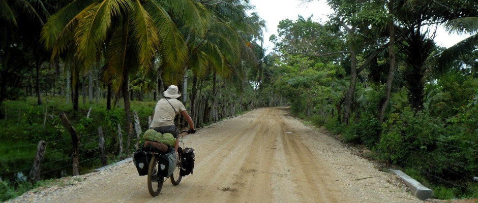
Ferda and I met up that afternoon, camped in the caldera, and expected a downhill ride out of the caldera the following morning. Well, the earthquakes caused lots of landslides and wiped out the highway bridge that we had planned to use. We were rerouted up and around on narrow roads with too much traffic (because of course all traffic is using these smaller roads till the new bridges are complete).
It felt good to get out of there and onto pleasant roads for the flat ride to Kumamoto, the prefectural capital.

Everyone’s checklist for Japan ought to include at least one garden. Ours ended up being Kumamoto’s Suizenji Jojuen, seemingly unaffected by the earthquakes.


Wow, that was nice!
Kumamoto has a large beautiful park where we ended up camping for two nights.


We had a fun full day in Kumamoto with a visit to a shrine, the castle, an onsen (hot springs), and an evening at an izakaya (a Japanese style pub).
The shrine is dedicated to the king who built the castle and is famous for the hundreds of stone lanterns leading up to the main building.


I knew before visiting that the castle was closed because of earthquake damage so I was pleasantly surprised by just how much we were able to see. Like in Nakatsu our visit was made memorable by the volunteer guide, Meiko, who showed us around and tried to answer anything we asked about. She’s the source of some of the Shintoism information that I mentioned in a previous post.

There was much damage to the walls.


Meiko explained that the wood overhangs the steep walls so defenders could drop stones through the gap onto attackers.

Into the onsen:

and on to the izakaya:

If there’s one word to remember from Kumamoto, I hope it’s not “earthquake”, but “basashi“. Basashi is Kumamoto’s famous culinary specialty of thinly sliced raw horse meat enjoyed with soy sauce and minced ginger. The fattier cuts were tastier.

Don’t worry, it wasn’t all raw meat.

We ended with a huge oyster and fuzzy heads.


The next day was easy flat pleasant riding to Yatsushiro.

And more food, of course. This time raw fish:


The full day ride through the gorge from Yatsushiro to Hitoyoshi was another unexpected gem. As I’ve mentioned before, there’s a lot of great riding to be found in Japan.


In Hitoyoshi we found a nice campsite and a hint of fall colors.


From Hitoyoshi we climbed to about 600m to reach the tunnel to Miyazaki. We had actually chosen a smaller road at first, but a dead end forced us back to the highway. I had seen the tourist signs for “Hitoyoshi Loop Bridge” and saw from the map that the highway looped over itself to gain elevation. I’ve seen similar infrastructure in South Dakota and Monaco and didn’t figure it’d be so exciting.
Here’s perhaps the best photo I have to illustrate what I’m talking about. We came up the lower road from left to right, looped around the photographer, and then up the higher road from left to right again, arriving to where I took the photo.

It’s just highway infrastructure to gain elevation, right? Well, yes, but during construction this was an ugly industrial mess, I’m sure. For post-construction beautification a variety of bushes and trees were planted, making the whole thing stunningly colorful during the fall.


A Japanese garden within a crazy highway bridge. Amazing Japan.
Nice! The only time I experienced “looping” was in an airplane, flying out of the San Jose (California) airport. With Oakland and San Francisco not too far to the north, I guess that’s the only way they could get any altitude.