Fixing my infected tooth requires going to Tarsus (pop. 340,000; elev. ~sea level) once a week to see a dentist (she cleans out the infection, and once she doesn’t find any more, she’ll do a “permanent” filling, and I’ll be done; at least that’s the theory). Meanwhile I’ve based myself in Çamlıyayla (pop. 10,000; elev. 1200m) and am able to take care of my weekly appointment as a day trip by dolmuş (public minibus). I was rather ill during my first week in Çamlıyayla, but by the second week I was feeling well enough to get out and do some loops from my comfortable pansiyon (shown here).

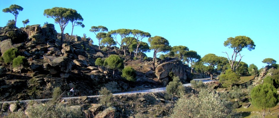
The first loop was just a walk to the castle, Namrun Kalesi, that towers above the window of my room. It’s on an escarpment surrounded by lower hills — the perfect place for a castle. When the Armenians were here, they maintained it. Later, the Ottomans used and maintained it. I’m not sure who built it. It’s been over restored.


My second loop was a day trip by bicycle with the goal to see another “castle”, Sinap Kalesi. It was a bit uphill to get there, but I’m always surprised how much easier it is without my luggage (although that feeling wears off very quickly). The site is really an Armenian fortification. It’s kind of in a valley surrounded by higher land — a strange place for a fort. However, it does have line of sight to Namrum Kalesi. Apparently the Armenians had a string of such forts from the Cilician Gates (near where I am writing this!) to Namrum Kalesi.


The outing was shorter than I expected, but I was able to climb a bit higher to Çıkrıcak Bal Ormanı (Çıkrıcak Honey Forest) and loop back to Çamlıyayla.


For the long loop of the week it was four nights out. The first day was one of the big climbing days of the trip (so far!): 1700m in about 28km. The final switchbacks up to the plateau at 2600m were steep and loose. I ended up pushing a fair bit. I also got strung by a bee (that escaped from the Honey Forest?).


I could have climbed higher still the next day (the road continues to Aktoprak via Kırkpınar), but instead I did an out and back by cycling then walking to get to some stunning views of Cehennem Deresi. It was fun to look across and see the roads that I had cycled two weeks earlier from Cocak Kapısı to Pınarlıbük via Topaşır. It’s a beautiful area.


The following day I retraced my route down those loose, steep switchbacks, not realizing at the time that I was starting a 2200m descent! At the bottom of the switchbacks, I dropped into the canyon to the left (east) towards Papazın Bahçesi. I had come up from the right two days earlier.


Like my long descent into Cehennem Deresi to Pınarlıbük two weeks earlier it was down, down, down. The road was often rough and loose, sometimes steep, so it was slow going.


Papazın Bahçesi (Priest’s Garden) was where an Armenian priest spent his winters when he wasn’t preaching to his flock in the summer in Çamlıyayla. Now it’s a popular picnic area. A number of people warned me what a steep, rough, and difficult climb I’d have to get out of the canyon the next day. It’s all relative, I guess. There was a short, steep, loose section toward the bottom, but mostly it was fun switchbacks out the side of the canyon through a shady pine forest — much easier than I was made to believe.


I guess you can’t spend two weeks in Çamlıyayla without trying their famous fındık lahmacun, about as exciting as it looks.

Back to Tarsus for another round at the dentist.
Wow, as always! Good luck with the tooth, too!