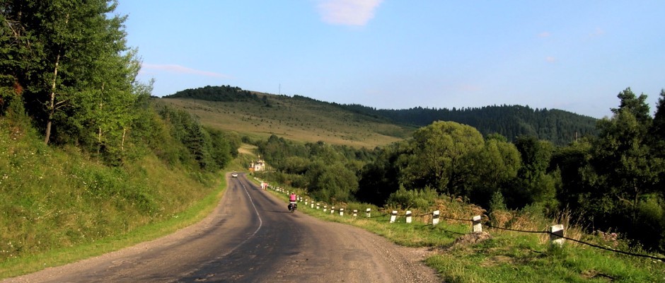
To celebrate the end of Ramadan I met Sabiha at the dolmuş/ilçe bus station in Niğde for a week of backpacking in Aladağlar (sometimes translated as Crimson Mountains; maybe a couple of the photos will show why). It was an overnight bus from Antalya (9.5 hours) but only about a five hour trip for Sabiha coming from Ankara. We took the Çamardı dolmuş as far as Çukurbağ and then a tractor a little ways into the mountains to a base camp where we started our 6-day hike.


The Aladağlar are like no other mountains I’ve visited before. They look like photos I’ve seen of the mountains in Pakistan or Afghanistan — rugged, steep, and bare. There’s surprisingly little vegetation out there even where we started at about 1500m. Except for the first and last day we spent the whole week above ~2900m where it’s really just a world of cliffs, rocks, snow, and ice. Along the way we climbed three peaks: Karasay, Eznevit, and unnamed 3517m (near Çağalın Başı). They’re all about the same elevation. I think there are only three peaks above 3700m in Aladağlar.


Sabiha and I ended up doing a loop that widely encircled the most famous (and highest) peak in the range, Demirkazık. Most people use ropes to climb it, and since we didn’t bring technical equipment, we stuck to a trekking route. The problem with choosing a trekking loop in Aladağlar is that the maps don’t show any loop trails. Traverses are more popular. With our 1:25000 map with 100m contours (no, not a typo; close to worthless, you’re thinking…), we figured we could probably connect the Yedigöl (Seven Lakes) area to Dipsizgöl (Bottomless Lake) even though there was no trail shown on our map.
We did, in the end, succeed. But first, let’s start! On the first day we climbed ~1400m up to a camp below a couple passes where there was a spring (and lots of ice in the morning). Something’s not adding up with my numbers because I seem to recall this camp was at about 3300m. Unfortunately I don’t have a map (the one we carried was borrowed from a friend; thanks, Deniz!) so I’m writing all this up from memory. Typical Turkey — good maps are difficult to come by.


On our rest day we climbed up a ridge, bagged a couple peaks, enjoyed the cliffy views and the stellar almost windless weather. Two weeks earlier some friends had attempted this same ridge but were turned away by the howling winds.


Our next day was fairly casual as well. We moved camp over the pass to a beautiful spot next to a lake in the Hastahoca (Sick Teacher) area. This whole area is quite flat for Aladağ and is dotted with heaps of lakes. Most of them had dried up by the time we were there in mid-August.


The following day was our longest. We climbed to a ridge on a trail and were optimistic that we’d make it down to Dipsizgöl because there was a trail after all. Of course I should have thought about this one more carefully. Nearby Çağalın Başı was sort of a triple divide peak. We came from one basin, the trail continued to a second, but we wanted to drop into a third. Haha, what followed was hours of some of the most difficult terrain I’ve covered with a backpacking pack.


On the first ridge we had to hand our packs to each other down a steep section. Then we crossed steep scree under Çağalın Başı and gained another ridge on the other side of the peak. From here we could see tiny Dipsizgöl — oh, not so far away, it seems. The problem of course was hundreds of meters of cliffs between us and the lake. Oh, and in the end the lake turned out not to be small at all. That’s just how things look when you’re 500m above them.


We started along this ridge and continued until it cliffed out on both sides and was about as narrow as my foot is long. We dropped the packs, and I scouted. Yep, continue on the ridge, very carefully. Old pins were evidence that some people use a rope in this section. In the most difficult section I carried Sabiha’s pack (after taking mine), and she straddled the ridge, scooting along on her ass, one leg dangling on either side. Photos, if I had any, surely wouldn’t look as dramatic it sounds, but seriously, this was no-fall territory.


Eventually we came to a steep scree field where there was a bit of a trail. Then the 500m descent started and the tricky, cliffy sections just seemed to keep coming. We were careful, and we learned later that last year another backpacker was not so careful. He missed a step, tumbled with his heavy pack, rolled over a cliff, and died. This, mind you, was not what we considered the most dangerous part of the route.


Our two nights at Dipsizgöl were welcome. On our rest day we found another ridge to climb that led to a spectacular high flat area. I was tempted to keep going because, well, it sure looked like you could gain the final ridge to Kocasarp without a rope… For next time.


The next day was our last. We walked down from our high camp feeling pretty proud of our accomplishments. Then we caught up with Mustafa from Kayseri who was walking down from his ascent of Demirkazık with crutches, because, well, he has one bad leg. Incredible, inspirational, humbling.


Aladağlar did not give up easily. Once it finally like looked like we’d have a casual trail back to the road, we descended into Cimbar Boğazı which was so steep and narrow that we kept wondering if we’d come around a bend to the edge of a cliff and need a rope to keep going. The route was marked on our map, but in these mountains on some of those “trails” most people do use a rope. Luckily for us, not there. Another super week in the mountains.


And a bunch more eye candy because, well, I love mountains.


Beautiful!
I wish I was there with you. (and with rope 🙂 ) Excellent pictures.
Well, your poles were there. 🙂 Thank you. Looks like I’ll be bringing a couple ropes when I return from Mexico so we’ll be ready!
Nice pictures of a stark landscape! Glad you’re having such a good time with your adventures.
Hi Brian,
Me and with my brother Murat met with you at your trip in aladağlar. You were camping at çelikbuyduran 🙂
Life is full of surprises…
We are glad that you had made your trip safely. Last week, we went again but this time we climbed from Emli. It was still snowy we couldn’t go up to any peaks but it was still very nice.
We look forward to go again in late july or in august. we may meet again 🙂
say hi to Sabiha…
selcuk
Merhaba Selcuk,
Great that you found my blog!
I would also like to go again, maybe in July or August. Sabiha was just in Aladağlar a couple weeks ago, taking a climbing course. I’d like to climb Büyük Demirkazık and maybe some other routes that require a rope. Those mountains are beautiful, and I need to get away from Antalya’s heat in the summer. 🙂
Say hi to Murat.
Bryan,
Whenever I seek for trip reports of adventures in Turkey, I am directed into your blog by google! Thanks for the pictures, I am planning to do the hike this Bayram (end June), and you definetely have encoureged me to go!
Kerem,
Wow, I didn’t think google found my blog at all!
You’ve probably also found this post from when I was in Aladağlar last August. Again it was August so again it was very dry. I bet it’s prettier in June though it could be a little crowded during bayram.
Last year (Feb. 2016) Tunç Fındık published a book “Aladağlar Dağcılık ve Tırmanış Rehberi”. It is an absolutely incredible guidebook, probably the best guidebook for mountain climbing, mountaineering, and hiking that I’ve ever seen. If you’re planning on doing much in Aladağlar, I highly recommend it. That’s where I got the ideas for last year’s trip.