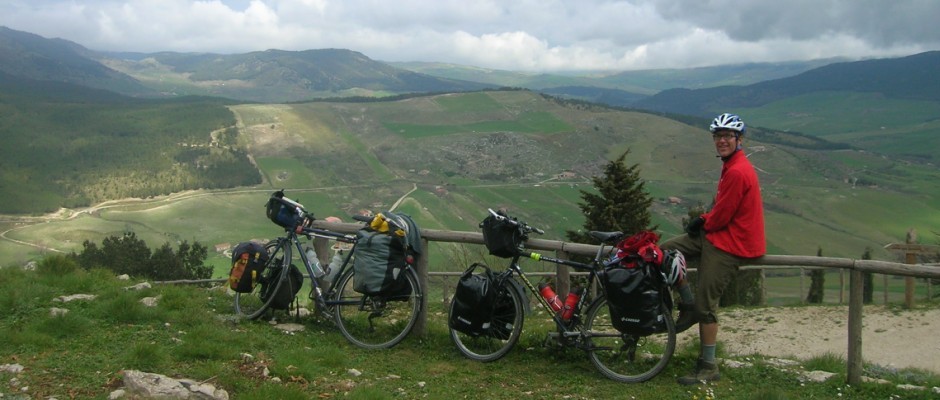
Warning: there are a lot of details here about our ski day in Çayırbaşı (İspir), as perhaps someone (us?) can learn something from the avalanche we triggered.
Seb and I left behind snowy roads and good powder in İkizdere. The hope was to get away from the former but not the latter. It had snowed (again) in İkizdere (down at 600m!), but what a surprise to find so much of the fluffy white stuff on the main İkizdere-İspir highway. Sure, they don’t (frequently? ever?) plow the village roads, but until then we’d always found the highway snow-free!
Up higher, however, a plow had been through, and it was easy to get to 2100m where we entered the world’s 7th longest road tunnel. The 14km tube is more boring and less beautiful but certainly faster than the old route over 2600m Ovit Geçidi. From the map I had picked out a couple potential places to ski between İspir and Erzurum, one near Kızılkale (after crossing Ağzıaçık Geçidi (a pass)) and one near Rizekent (after crossing Dallıkavak Geçidi (another pass)). Before even getting that far, however, as we were descending Gölyurt Geçidi (yet another pass!), we had nice views of the forested north-facing slopes of Bozan Dağı (a mountain). Let’s check it out, we said.
Here’s Gölyurt Geçidi:

First, however, we had to get to the village of Bozan. The road to that village looked like this:

That’s exactly the kind of village road that we were trying to get away from by deciding to leave İkizdere! We managed to turn around the car without falling into a snow-filled ditch and went back to the village of Çayırbaşı where we had seen a smaller forested north-facing slope. We parked the car, saw what we could from the road, and decided to give it a try. Our concern was that there wasn’t enough snow, but the area looked pretty.
We started up a shallow, narrow valley following a small road next to a tiny creek. When the valley widened (after perhaps 20 minutes), we left the road and turned right to climb up a densely forested slope with a deep gully on the right. This slope was 300m wide at the bottom, narrowing as it went up. Since we climbed more to the right, we never saw to the left where it turned out there was another deep gully. At the top of the forest I waited for Seb in a safe flat area to discuss what to do next.
By myself I would have gone directly down. I felt there were enough openings in the trees to make some turns, and it didn’t look like there would be enough snow above us for good skiing. I also considered looking left to the end of the flat area and seeing what was over there. Seb arrived and suggested heading up to the right above the gully and skiing down the next ridge to the right. I said I didn’t want to do that — the ridge looked steep and narrow and forested, and the gully was a terrain trap. Seb said he didn’t want to ski down where we had come up. He put out the idea of going up to what appeared to be a summit on the map and heading down the north-facing ridge to our left (east). It was still overcast with fairly flat light, but we could make out the ridge he was talking about. I didn’t think we’d find good skiing there, but I didn’t say anything.
We decided to ski up to the next clump of trees. Here is Seb skiing at that clump of trees. Behind him you can see the meadow/knoll at the edge of the forest where I first waited for him.

Starting up from the meadow the snow was better than either of us expected. I waited for Seb again at this clump of trees. The light was still flat. There seemed to be some grass sticking out in the slope above us which helped us to see what was there. Seb was excited to keep going up because of the good snow. I led again. As the slope got steeper (and I couldn’t continue straight up), I started heading left. I sort of rounded a concave bit and realized I didn’t like what I was seeing. The slope was steeper, and the snow was deeper. It was still hard to see. I did a kick turn (is that the right term?) to the right and looked back at Seb. I was hoping he wouldn’t be right below me as I cut the next switchback. I also didn’t want to wait where I was. He was back a little ways, and I kept going. The terrain felt comfortable again all the way to the high ridge.
In this photo it’s both hard to see Seb and hard to see our track below him to the left. He had already made the right kick turn that I described.

Later we could see that a portion of our uptrack, between where Seb is in that photo and the tracks below him, slid in the avalanche, including of course where we made the turn.
At the ridge it was windy. I stopped to put on clothes. Seb said, “let’s go to the summit and then down that north-facing ridge back to the valley. We’ll get to the car without having to skin up again.” “Ok,” I said. He was ahead from here to the summit. The ridge to the summit looked like this:

Shortly after taking the above photo, I thought I felt and heard a whumpf. I looked at Seb. He looked back at me, and I figured he noticed it as well. We had heard no other whumpfing noise that day. When we talked later, Seb said he hadn’t notice anything. He was only looking back at me to see where I was. Maybe he subconsciously noticed.
The visibility was still poor but starting to improve. When I looked back and saw this:

I was surprised just how defined that cornice was. Sure, the afternoon was brightening, but the cornice was barely visible from the other side… Slowly it dawned me. Ah, the sound, yes, there was an avalanche where we had just been 5-20 minutes earlier (the upper bound is determined from timestamps of the photos). I was pretty shaken up, but Seb was fairly casual. However, he still hadn’t realized that the avalanche was new. He only was surprised we hadn’t noticed it earlier (like I was with the cornice). The flat light makes this thinking more plausible than it sounds.
I felt quite shaken and perhaps a little nauseous when Seb took this photo:

As we descended, the visibility improved, and we got better angles to look back and see the slope that slid. Yikes, the more we could see the scarier it was.

The skiing on the ridge was better than I expected.

The slide went all the way down to the valley bottom in one or perhaps two gullies. In the debris pile at the bottom we found trees up to 15-20cm in diameter.


I’ll try to give a few facts. The slide started at about 2490m on a NW facing slope and ran down to the valley bottom at about 2230m. The horizontal slide distance was 500-600m. The weather was cloudy with light wind, about -7°C. The sliding surface was the ground. Size: 3 (medium), based on the mass (1000 tons (within an order of magnitude)) and the fact that it “could bury a car, destroy a small building, or break trees” (source). The release was at about 2pm on March 27, 2021.
It had snowed at least 50cm (probably more at 2500m) in the previous three days on the Black Sea side of the mountains (where we had been), probably less over here on the dry side, but how much less? The slope that slid was wind-loaded. I’ll mention it again: I was surprised how much snow there was on the wind-blown ridges above tree line.

The sun was shining by the time we got back to the car.

Everything looked so beautiful, but maybe that’s just ’cause we were alive.
Deep breath.
We stayed in Erzurum that night and the next day decided to ski at a ski resort, Konaklı Kayak Merkezi, in order to rest our minds and bodies.


Apparently it had been too stormy to open the upper lift the day before so we were treated to some nice powder (on a very thin base).

In Erzurum the Rüştem Paşa Bedesteni (aka Taşhan), built around 1550, is a fine example of early Ottoman architecture. It’s now used to sell jewelry. Seb bought a string of prayer beads made from the famous stones from Oltu (Oltu Taşı).


The centrally-located Yakutiye Medresesi now houses a small museum. It’s worth going in just to have a look at the architecture.

We, however, weren’t really doing the tourist thing (yet!). We pushed on to Çat, looking for another casual day of skiing. We parked the car at a gravel (?) operation at about 2100m, 3km NW of Çirişli Geçidi.
We only climbed to about 2300m. The snow looked poor above there, and we were both still spooked from our avalanche adventure. The snow on our cute little slope was good enough that we decided to ski it twice.


It was a fun three hours — both a good way to break up the drive and a safe place to ski after our frightening day in İspir.
I always think about avalanches when I read your ski stories and imagine myself there. I’m so glad you dodged that one.
Hi Sage,
Yes, of course, we’re always thinking about avalanches while we’re skiing and trying to figure which route to take. It’s hard when you’re in an unfamiliar place and even harder when you can’t see very well. This area doesn’t look steep or spectacular or dangerous, but it sure could be deadly. Quite scary.
Wow, fascinating!
Glad you’re safe — always an adventure to write about! And nice pictures, as always, too.
Yeah, well, I’m trying to avoid having to write about adventures like that.