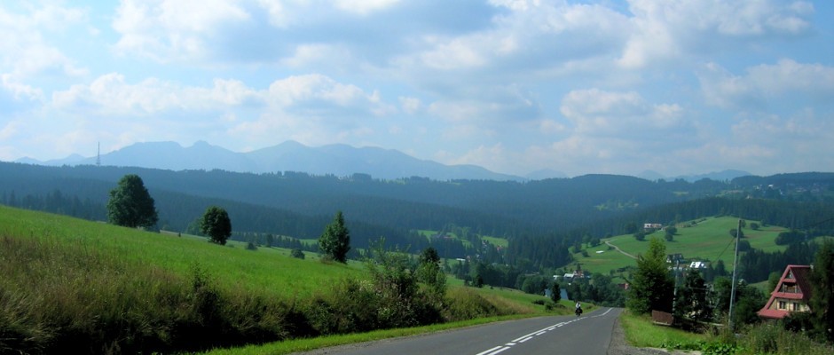
With the lure of escaping Antalya’s oppressive August heat, Özgür didn’t have much trouble to convince me to come with him backpacking in Siberia. We flew via Moscow to Gorno Altaysk where we picked up our pre-arranged permit to visit the border region of Russia’s Altai Republic. We provisioned ourselves with about 18kg of food and 2.6l of fuel and started to wonder how we’d possibly carry everything. From Gorno Altaysk an eight-hour small bus/large van ride took us to Tyungur, the start of our adventure into the wilds of Siberia.


Sort of. We walked along the road to the small village of Kucherla, crossed the stream, and then heard a vehicle coming. Indeed it was the shared taxi like service to 3 Bieriezy (Three Birches), hauling tourists like us to the real starting point of the trek. The sturdy vehicle, equipped with chains, was sliding around on the mud and multiple times I was sure we were going to tip over. I started to panic, but the calm stoic faces of my fellow Russian passengers assured me all was well.


In Tyungur we had divided our supplies into three groups: what we’d carry to Akkem Lake, what we’d pick up at Akkem Lake for Mt. Belukha, and what we’d pick up at Akkem Lake for after Mt. Belukha. The latter two piles arrived at Akkem Lake via helicopter.
It was two days trekking straight south in a narrow forested river gorge on a muddy, rocky, rooty path to Akkem Lake. We resupplied and continued south, skirting the lake, and entered the alpine, leaving the trees, bushes, grasses, and flowers behind us. It was a land of rock and ice, but we didn’t need to rope up on the glacier until well passed the Tomskiie Base Camp at about 3000m.


There we rented climbing equipment — helmet, crampons, ice ax, harness, jumar, descending device. I had carried a rope and shovel from Antalya. Unfortunately Özgür wasn’t feeling well, but supposedly we had three days of good weather so we could afford a rest day at Tomskiie (or so we thought…).


When Özgür was feeling worse the next day and we were discussing our options, Dmitri from Moscow showed up at our tent looking for a climbing partner. Wow, really? The timing doesn’t get any better than that. He left his tent for Özgür, and we went up with my tent and rope and his stove and fuel, expecting to be back in about 30 hours.


There were fixed lines set up the 300m icy face to reach Dielonie Pass, and from there we roped up to cross the Miensu Glacier to get to the next pass, Bieriel’skoie Siedlo, at about 3500m on the Russian-Kazakh border. The goal here is to avoid falling in a crevasse. Like most other climbers we set up our high camp at the saddle on the border.


Our plan was to get up at 11pm, leave at midnight, summit, return to camp, pack up, and return to Özgür and Tomskiie that same day. The reason for the early start is to avoid the avalanche danger below the east facing slopes when moving slowly up the icefall (though all this wasn’t clear to me at the time).
Well, well, at 11pm, it was raining. We got up, ate a little, looked around, and decided, no, we can’t leave in this weather. It continued to rain, hard at times, until about 8am. Then, however, the weather improved. It was cloudy, and I reasoned that without the sun hitting those east facing slopes, the avalanche danger wouldn’t be so high. We set off with another group of four, led by Arkadi, who I’d been keeping pace with for the last 48 hours.
From our camp at the saddle we roped up and headed west (illegally) into Kazakhstan, crossed more crevasses, and eventually turned north to the huge bowl below the summit dome of Mt. Belukha. My route description said to go left, reach the ridge, and follow that (the south ridge) to the summit. Clearly there was also a route to the right up the SE ridge. That’s the way Dmitri wanted to go. At times the clouds cleared enough to see the direct route up the icefall, something that looked insane with its avalanche danger, crevasses, and seracs. We waited a couple minutes for Arkadi’s group and after a discussion in Russian decided (mistakenly, though I also thought it was the correct decision) to gain the ridge on our left.


We belayed on ice screws to get up there, only to see the major difficulties of continuing up the ridge where few, if any, people had been going this year. This mistake probably cost us a couple hours.

Back down we headed up right, Dmitri’s original wish, reached the saddle, and then started up the SE ridge at around 1pm, I think. To give an idea of the difficulty, 100m of elevation gain was taking about an hour. After the first hour two of Arkadi’s group retreated. I waited for Dmitri with the same offer of retreat, but he wanted to keep going up. There were (old) fixed lines at times, and we belayed two pitches. I led a mixed rock/ice pitch, and a bit later Arkadi led a pure ice pitch. The frequent opportunities for fatal mistakes reminded me at times of my Matterhorn climb with Semra.


Eventually on an ice ridge we reached a high point. The up-down route to the summit wasn’t clear, but it looked possible to avoid crevasses and reach the main route below the summit dome (and above the icefall). We safely did just that.

It was 5pm, and we were 140m below the summit. I wanted to head back to camp and was happy to hear Arkadi declare in his limited English, “time to go home”. Heading down roped up through the icefall was uneventful if, at times, frightening. It was not a place I wanted to linger. We celebrated at camp with photos and smiles, thinking our adventure was over. It was certainly one of my best mountaineering days.


We hadn’t planned on spending two nights at that camp, but we still had food and importantly fuel to melt snow for water. At 6am we woke up to this:

We were in a cloud and new snow had erased the path through the crevasses of Miensu Glacier. Clearly our adventure was not over. It was 3pm by the time the weather gave us permission to leave — good thing as food and fuel were getting low.

We crossed the Miensu Glacier uneventfully thinking our adventure was over. The final approach to Dielonie Pass is made via steep snow steps with an ice ax, topping out on a narrow ridge between the steep snow and a large crevasse 2-3m further on. Blocking our way along the ridge between the cliff and the crevasse was the Russian border patrol, asking to see our documents, and wondering about our illegal border crossing. Clearly our adventure was not over.


I’m writing this in freedom, two days later, 1500m below the pass, near Akkem Lake, waiting out a rain day in the tent. I thought we’d get away with a 1000 ruble fine payable in Ust Koksa within a week, but as we collected our extra food at Akkem Lake yesterday, one of Arkadi’s group happened to show up. We had seen him earlier at the church and chatted a bit. Since then, however, he had run into the border patrol, and, well, they’re looking for us again.

Is our adventure really not over?