If you look quickly at a road map, you’ll see no direct roads west from Kars to Narman. The reason is, of course, the mountains — Allahuekber Mountains and the eponymous national park. Check more carefully, however, and it’s possible to string together village roads and unpaved mountain tracks. Sounds like a nice bicycle touring route, doesn’t it?
As a warmup, we started with about a day and a half of flat riding on the Kars Ovası (Kars Plains). The elevation (about 1900m) means that the temperature was pleasant even though it was the beginning of August.


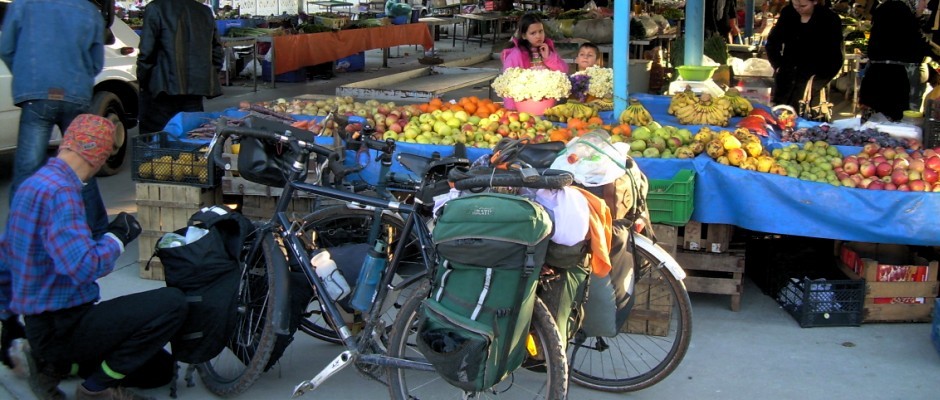
As I mentioned in my previous post, Kars is famous for its geese.

On our first night of the trip, we found a pleasant hidden creek side campsite near the district center (ilçe merkezi) of Selim.


Kars has been a crossroads for years and is still diverse (for Turkey). The following day we went through the Kurdish village of Katranlı, then the Terekeme (similar to Azeri?) village of Bölükbaş. These Alevis:

were from the Alevi village of Laloğlu on the other side of the valley. There are some Turkish villages around as well. It’s the Armenians, of course, that are missing.

The first climb of the trip started in earnest from Gürbüzler.

We were still below the pass when we stopped to camp at a comfortable site with a çeşme (a fountain with drinking water) where we were able to bathe.

After backpacking in Sarıkamış, I expected these mountains to be forested. I was surprised that near the pass that it still looked like this:

We found the trees and a very nice forest road heading down the other side to Kaynak.


One of the reasons to come to Kars and Erzurum to pedal in August is to escape the summer heat in Antalya. It worked. About 10 minutes after I took this photo,

the storm caught up with us, and we were lucky to find shelter under a large roof. After Ferda changed out of her wet clothes, you can see that she even put on her down jacket:

The stormed passed quickly, and the sun came out again. It was a fun descent to Kaynak,


down passed Şenpınar,


and on to Gaziler (aka Bardız). The cows were heading to their barns after a day in the fields. We were offered shelter in the local school.


The following morning started with a continued pretty descent.


We crossed the creek and spent the entire afternoon climbing up to the Kurdish village of Dörtyol.


I tried to speak a few sentences of Kurmancî, but as in Adıyaman, I learned that their Kurdish here (in Şenkaya) is rather different from what I learned (Mardin Kurmancî). Then, however, an older man from Diyarbakır came by, and we could understand each other quite well! It was my longest Kurdish conversation ever! (Don’t get too excited. It was a short exchange of a few sentences.)
We camped above the village where friendly Mahir and his sister and mother brought us water, bread, greens, and tomatoes. Like many Kurds in Turkey, Mahir grew up in western Turkey (Kocaeli?) and hasn’t learned the language.

The next morning we continued to the top of the pass,

had a short descent to Çatakköy (Oltu),


and then (once again) spent the whole afternoon climbing another pass.


I was amazed in the small somewhat remote village of Güllüdağ (Narman) to come across a team from the health ministry giving covid 19 vaccinations to villagers and answering their questions about the pandemic, the vaccines, and the side effects.

Here’s our group (left to right): Hacer, Emek, Ferda, and Görkem at the top of another pass.

Another pleasant campsite:

It was mostly downhill the next morning to what they call “Narman Peri Bacaları”.


In English that’s “Narman Fairy Chimneys”, and if you search the internet, you see the same photos of a couple pinnacles. I didn’t expect much.

However, the place is misnamed and certainly undersold. It’s a whole red rock sandstone canyon, like something you’d find on the Colorado Plateau. The area isn’t extensive, and but it’s definitely more impressive than the two pinnacles in all the Instagram photos.


The thing to do — and we were actually discouraged from doing this by the folks at the onsite restaurant in the above photo (because the road is unpaved) — is to take the road through the village of Yoldere and up to the top of the canyon where there are some great places to enjoy the view.


What a nice Narman surprise.
We spent three nights resting at the surprisingly comfortable Peri Oteli in the center of Narman. Rest days are always nice.
Interesting as always!
Wonderful!
Beautiful!
Hello! I stumbled across your blog because I was searching for information on the route Erzurum to Narman to Kars.
I see that you did it the other way around.
Would you recommend it? How were the gravel roads very steep?
We also did the route from divrigi to Kemaliye through the mountains and it was beautiful but some part were way too steep to cycle and we had to push our bikes.
Would you say it’s similar to the divrigi Kemaliye route? Or better in terms of gravel and steepness?
Thanks a lot in advance
Cecilia
Hi Cecilia,
A couple things — I have not ridden from Erzurum to Narman. I imagine you’d want to go to via Pasinler, then head north along the east side of the Kargapazarı Dağları on village roads.
I rode from Erzurum to Tortum to Uzundere mostly using the highway.
The Kars –> Narman route that you’re reading about on this page is good. It is easier than the Divriği –> Kemaliye route following the Çaltı Çayı on the south side via Dazlak and Burmahan. Is that the route you’re talking about? I wouldn’t call it “through the mountains”, rather steep hills and canyons. Just want to make sure we’re talking about the same thing.
From Narman to Kars you’ll have a short steep unpaved climb out of Çatakköy and a steep climb out of Kaynak, but I think that one is paved. Our hardest climb was steep and unpaved out of Gürbüzler. The Selim-Şenkaya highway will go near there so there might be a new road and/or construction now.
Hope that helps.